Drone Survey / Aerial Survey in Noida

Drone Survey / Aerial Survey in Noida

Drone Survey / Aerial Survey in Noida: PDSS Lab provides Drone Survey / Aerial Survey to clients in Noida and nearby areas — site visits by our engineers, testing in our NABL-accredited laboratory and QR-verified reports, with support from our nearest regional office.

Drone surveys capture detailed site maps, contours and terrain in a fraction of the time and cost of traditional methods. PDSS Lab combines drone photogrammetry with DGPS ground control points to deliver accurate, georeferenced outputs.

An orthomosaic stitches hundreds of distortion-free images into one map with uniform scale and true geometry — the detail of a photograph with the accuracy of a map.

Our drone survey workflow:

  • KML boundary finalisation with the client / department
  • GCP fixing and georeferencing by DGPS
  • Drone flight and data processing
  • Orthomosaic, DEM and contour generation
  • Topography drawing preparation
  • Field verification with field book
  • Rechecking and detailing
  • Drawing verification and corrections
  • Final submission of drawings and data

What drone surveys are used for: original ground levels, cut and fill quantities, stockpile and tonnage measurement, current vs finished grade, trenching quantities, slope analysis, distances for pipe laying, progress monitoring and real-time video verification — safely and quickly, even on large or difficult sites.

We Deliver Exceptional Engineering Solutions in Noida

Comprehensive Engineering & Consultancy Services in Noida

PDCE Sristech Testing & Research Laboratory (PDSS Lab) excels in providing a wide range of engineering and consultancy services, delivering comprehensive solutions customized to meet the unique needs of our clients in Noida. Our expertise includes:

What’s included

Drone Survey / Aerial Survey in Noida — our scope

Everything you need, handled by one team: field work, laboratory testing and a clear, verifiable report.

  • Aerial photogrammetry

    High-resolution drone imagery of the site.

  • DGPS ground control

    GCPs for accurate georeferencing.

  • Orthomosaic maps

    Scaled, distortion-free site maps.

  • Contours & DEM

    Elevation models and contour plans.

  • Volumes & progress

    Stockpiles, cut/fill and progress tracking.

  • CAD & GIS outputs

    Drawings, KML/SHP and reports.

How we work

From enquiry to verified report

  1. 1

    Share requirement

    Tell us about the site, scope and timeline.

  2. 2

    Scope & quotation

    Clear methodology, schedule and price.

  3. 3

    Field & lab work

    Our engineers and NABL laboratory get to work.

  4. 4

    Verified report

    Report with a QR code you can verify online.

Who it’s for

Trusted by

  • Road & highway projects
  • Mining & quarries
  • Real estate & townships
  • Solar & wind farms
  • Land records (SVAMITVA-type)
  • Construction progress monitoring
17+Years of experience
1225+Projects completed
NABLAccredited lab
FAQs

Drone Survey / Aerial Survey in Noida — common questions

How accurate is a drone survey?

With DGPS ground control points, drone surveys achieve centimetre-level accuracy suitable for engineering design.

Do you handle drone permissions?

Flights are planned according to DGCA rules and airspace zones; we advise on permissions for each site.

What outputs will I receive?

Orthomosaic map, DEM/DSM, contour plan, CAD drawings and GIS files as required.

Do you provide Drone Survey / Aerial Survey in Noida?

Yes. PDSS Lab serves clients in Noida and nearby areas through our regional offices; our engineers travel to site and samples are tested in our NABL-accredited laboratory.

How can I verify a PDSS Lab report?

Every report has a unique number and QR code. Scan it or enter the number at verify.pdsslab.com to confirm it is genuine.

Need Drone Survey / Aerial Survey in Noida?

Share your requirement — our engineers reply within one working day.

Our Offices

Our Company’s Reach Across India

PDCE Sristech Testing & Research Laboratory operates across multiple regions in India, ensuring comprehensive and accessible engineering consulting and testing services wherever you are. Select a city to see Drone Survey / Aerial Survey there.

City photo credits (Wikimedia Commons)

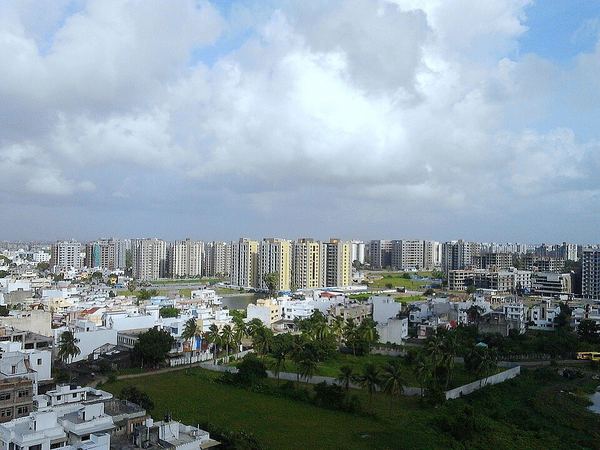
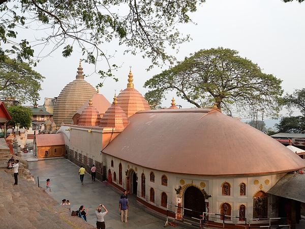
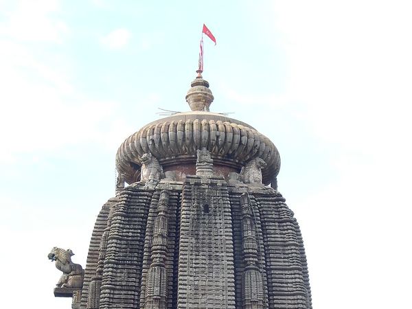
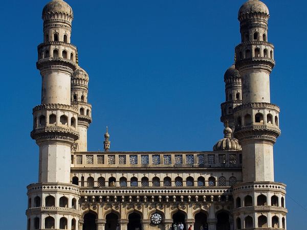
Delhi: AKS.9955 (CC BY-SA 4.0) · Mumbai: A.Savin (FAL) · Kolkata: Subhrajyoti07 (CC BY-SA 4.0) · Patna: कवि कलाकार हिमांशु मान्ने (Poet artist himanshu manne) (CC BY-SA 4.0) · Lucknow: Rishabhgpt (CC BY-SA 4.0) · Ghaziabad: Mnstwr2418 (CC BY-SA 3.0) · Jaipur: Chainwit. (CC BY-SA 4.0) · Surat: Rahul Bhadane (CC BY-SA 4.0) · Guwahati: Devkmaravi (CC BY-SA 4.0) · Bhubaneswar: Satyakam Parthasarathy (CC BY-SA 4.0) · Bengaluru: Yashaswi.jayakumar (CC BY-SA 4.0) · Hyderabad: DidierTais (CC BY-SA 3.0)

Certifications & Recognitions

Standards you can build on.

Quality, safety and sustainability — built into the way we work.