GIS Cadastral Mapping in Pahmpur

GIS & Cadastral Mapping in Pahmpur

GIS Cadastral Mapping in Pahmpur: PDSS Lab provides GIS Cadastral Mapping to clients in Pahmpur and nearby areas — site visits by our engineers, testing in our NABL-accredited laboratory and QR-verified reports, with support from our nearest regional office.

We introduce ourselves as LEADING AND SINGLE WINDOW Engineering Consultancy in Pahmpur and across India, a premier multi-disciplinary engineering consulting company dedicated to delivering exceptional solutions like GIS Mapping- Cadastral Mapping, Digital Mapping, Data Conversion, Natural Resources Management, Land Information Systems, Urban Planning & Geographical Information Systems.

We offer comprehensive following –

    1. GIS mapping services,
    2. cadastral mapping,
    3. digital mapping,
    4. data conversion,
    5. natural resources management,
    6. land information systems,
    7. urban planning
    8. geographical information systems.

Our mapping solutions provide valuable insights for urban planning, land management, and infrastructure development.

We Deliver Exceptional Engineering Solutions in Pahmpur

Comprehensive Engineering & Consultancy Services in Pahmpur

PDCE Sristech Testing & Research Laboratory (PDSS Lab) excels in providing a wide range of engineering and consultancy services, delivering comprehensive solutions customized to meet the unique needs of our clients in Pahmpur. Our expertise includes:

What’s included

GIS & Cadastral Mapping in Pahmpur — our scope

Everything you need, handled by one team: field work, laboratory testing and a clear, verifiable report.

  • GIS mapping

    Thematic and base maps built on accurate, geo-referenced spatial data.

  • Cadastral mapping

    Land parcel and ownership boundary mapping linked with land records.

  • Digital mapping

    Digitisation of scanned maps and drawings into editable vector layers.

  • Data conversion

    Conversion between CAD, GIS, KML and other formats with topology cleaning.

  • Natural resources

    Land use / land cover, watershed and resource mapping for planning.

  • Urban & land information systems

    Utility, property and master-plan GIS for municipalities and developers.

How we work

From enquiry to verified report

  1. 1

    Share requirement

    Tell us about the site, scope and timeline.

  2. 2

    Scope & quotation

    Clear methodology, schedule and price.

  3. 3

    Field & lab work

    Our engineers and NABL laboratory get to work.

  4. 4

    Verified report

    Report with a QR code you can verify online.

Who it’s for

Trusted by

  • Municipal & urban bodies
  • Land acquisition & revenue records
  • Real estate developers
  • Utility networks
  • Agriculture & forestry
  • Infrastructure planning
17+Years of experience
1225+Projects completed
NABLAccredited lab
FAQs

GIS & Cadastral Mapping in Pahmpur — common questions

What software do you use for GIS work?

Industry-standard tools such as ArcGIS, QGIS and AutoCAD Map, delivering data in the format your team uses.

Can you digitise old cadastral maps?

Yes. We scan, geo-reference and digitise old village and survey maps and link them with land records.

Do you combine GIS with field survey?

Yes. Our survey team collects ground control and field data with DGPS and drones to make GIS maps accurate.

Do you provide GIS & Cadastral Mapping in Pahmpur?

Yes. PDSS Lab serves clients in Pahmpur and nearby areas through our regional offices; our engineers travel to site and samples are tested in our NABL-accredited laboratory.

How can I verify a PDSS Lab report?

Every report has a unique number and QR code. Scan it or enter the number at verify.pdsslab.com to confirm it is genuine.

Need GIS & Cadastral Mapping in Pahmpur?

Share your requirement — our engineers reply within one working day.

Our Offices

Our Company’s Reach Across India

PDCE Sristech Testing & Research Laboratory operates across multiple regions in India, ensuring comprehensive and accessible engineering consulting and testing services wherever you are. Select a city to see GIS Cadastral Mapping there.

City photo credits (Wikimedia Commons)

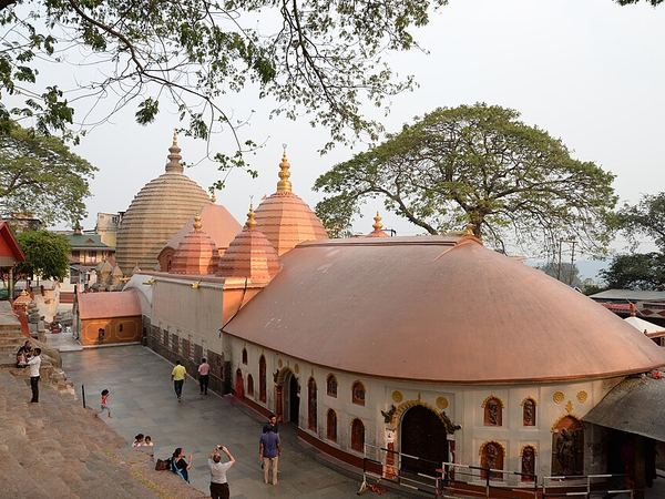
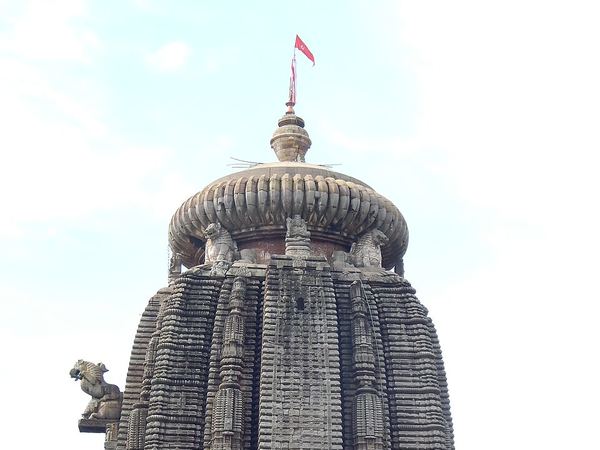
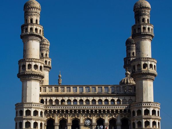
Delhi: AKS.9955 (CC BY-SA 4.0) · Mumbai: A.Savin (FAL) · Kolkata: Subhrajyoti07 (CC BY-SA 4.0) · Patna: कवि कलाकार हिमांशु मान्ने (Poet artist himanshu manne) (CC BY-SA 4.0) · Lucknow: Rishabhgpt (CC BY-SA 4.0) · Ghaziabad: Mnstwr2418 (CC BY-SA 3.0) · Jaipur: Chainwit. (CC BY-SA 4.0) · Surat: Rahul Bhadane (CC BY-SA 4.0) · Guwahati: Devkmaravi (CC BY-SA 4.0) · Bhubaneswar: Satyakam Parthasarathy (CC BY-SA 4.0) · Bengaluru: Yashaswi.jayakumar (CC BY-SA 4.0) · Hyderabad: DidierTais (CC BY-SA 3.0)

Certifications & Recognitions

Standards you can build on.

Quality, safety and sustainability — built into the way we work.