LiDAR Survey in Guwahati

LiDAR Survey in Guwahati

LiDAR Survey in Guwahati: PDSS Lab provides LiDAR Survey to clients in Guwahati and nearby areas — site visits by our engineers, testing in our NABL-accredited laboratory and QR-verified reports, with support from our nearest regional office.

LiDAR (Light Detection and Ranging) captures millions of measured points per second to create highly accurate 3D models of terrain and structures. Mounted on drones or used from the ground, LiDAR is transforming traditional surveying.

Unlike photogrammetry, LiDAR penetrates dense vegetation to reach the ground, making it ideal for forests, hilly terrain and long corridors.

Applications of our LiDAR surveys:

  • High-resolution topographic mapping and DTM / DSM
  • Road, railway and transmission line corridor mapping
  • Vegetation and forestry analysis
  • Infrastructure inspection of roads, bridges and powerlines
  • Flood risk and drainage modelling
  • Mining volumetrics and mine planning
  • 3D models and as-built surveys of structures
  • Utility and power line clearance analysis

Benefits of LiDAR: high precision and accuracy, fast coverage of large areas, access to rugged or forested terrain where traditional methods struggle, and vegetation penetration for true ground levels — reducing project timelines and overall costs.

We Deliver Exceptional Engineering Solutions in Guwahati

Comprehensive Engineering & Consultancy Services in Guwahati

PDCE Sristech Testing & Research Laboratory (PDSS Lab) excels in providing a wide range of engineering and consultancy services, delivering comprehensive solutions customized to meet the unique needs of our clients in Guwahati. Our expertise includes:

What’s included

LiDAR Survey in Guwahati — our scope

Everything you need, handled by one team: field work, laboratory testing and a clear, verifiable report.

  • Drone LiDAR

    Airborne point clouds over large areas.

  • Terrestrial LiDAR

    3D scanning of structures and plants.

  • DTM & DSM

    Bare-earth and surface elevation models.

  • Corridor mapping

    Roads, rail and transmission lines.

  • Under-canopy terrain

    Ground levels beneath vegetation.

  • 3D deliverables

    Classified point clouds, contours and CAD.

How we work

From enquiry to verified report

  1. 1

    Share requirement

    Tell us about the site, scope and timeline.

  2. 2

    Scope & quotation

    Clear methodology, schedule and price.

  3. 3

    Field & lab work

    Our engineers and NABL laboratory get to work.

  4. 4

    Verified report

    Report with a QR code you can verify online.

Who it’s for

Trusted by

  • Highway & railway DPRs
  • Power transmission lines
  • Mining
  • Forestry & environment
  • Flood studies
  • Industrial as-built surveys
17+Years of experience
1225+Projects completed
NABLAccredited lab
FAQs

LiDAR Survey in Guwahati — common questions

What is the advantage of LiDAR over drone photogrammetry?

LiDAR measures directly and penetrates vegetation, giving accurate ground levels in forests and complex terrain where photogrammetry cannot see the ground.

What accuracy does LiDAR give?

Drone LiDAR typically gives a few centimetres accuracy when controlled with DGPS ground points.

In what format is LiDAR data delivered?

Classified LAS/LAZ point clouds, DTM/DSM, contour plans and CAD/GIS drawings.

Do you provide LiDAR Survey in Guwahati?

Yes. PDSS Lab serves clients in Guwahati and nearby areas through our regional offices; our engineers travel to site and samples are tested in our NABL-accredited laboratory.

How can I verify a PDSS Lab report?

Every report has a unique number and QR code. Scan it or enter the number at verify.pdsslab.com to confirm it is genuine.

Need LiDAR Survey in Guwahati?

Share your requirement — our engineers reply within one working day.

Our Offices

Our Company’s Reach Across India

PDCE Sristech Testing & Research Laboratory operates across multiple regions in India, ensuring comprehensive and accessible engineering consulting and testing services wherever you are. Select a city to see LiDAR Survey there.

City photo credits (Wikimedia Commons)

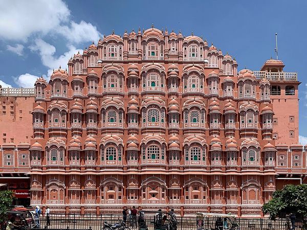
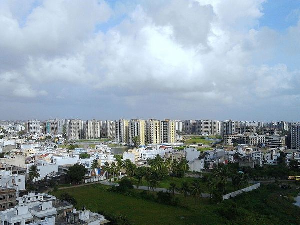
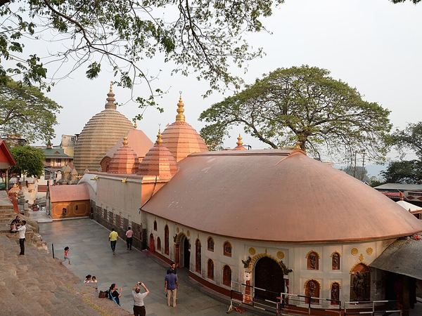
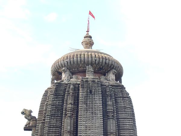
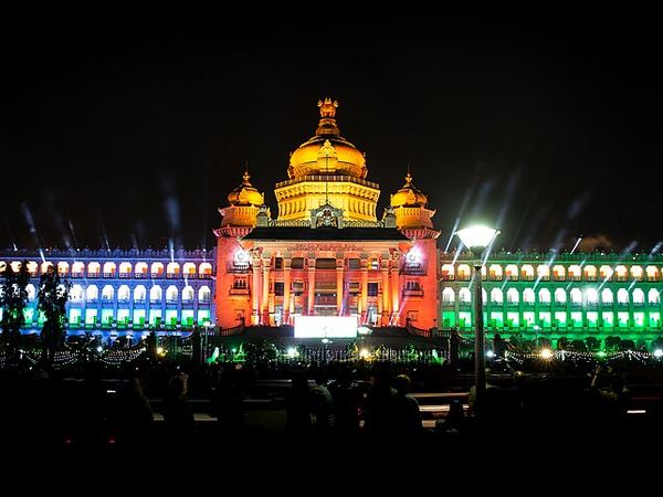
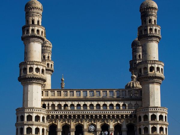
Delhi: AKS.9955 (CC BY-SA 4.0) · Mumbai: A.Savin (FAL) · Kolkata: Subhrajyoti07 (CC BY-SA 4.0) · Patna: कवि कलाकार हिमांशु मान्ने (Poet artist himanshu manne) (CC BY-SA 4.0) · Lucknow: Rishabhgpt (CC BY-SA 4.0) · Ghaziabad: Mnstwr2418 (CC BY-SA 3.0) · Jaipur: Chainwit. (CC BY-SA 4.0) · Surat: Rahul Bhadane (CC BY-SA 4.0) · Guwahati: Devkmaravi (CC BY-SA 4.0) · Bhubaneswar: Satyakam Parthasarathy (CC BY-SA 4.0) · Bengaluru: Yashaswi.jayakumar (CC BY-SA 4.0) · Hyderabad: DidierTais (CC BY-SA 3.0)

Certifications & Recognitions

Standards you can build on.

Quality, safety and sustainability — built into the way we work.